Loading...
Loading...
Make hilarious Weather memes instantly with our free generator. Create viral content in seconds—no signup required! Start now and share your funny memes today.
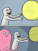
The Weather meme template has become a staple in internet culture, capturing relatable moments through clever weather-related humor. Emerging as a viral phenomenon on platforms like Twitter and Reddit around 2020, this meme type leverages everyday weather scenarios to deliver funny, shareable content. Its simple yet versatile format resonates widely, making it a popular choice for meme creators looking to engage audiences with timely, relatable jokes. As a part of the broader meme culture, the Weather meme reflects how social media users use humor to connect over common experiences.
Knowing how to use the Weather meme template effectively can elevate your social media content and boost engagement. Perfect for illustrating funny reactions to unexpected weather changes or poking fun at seasonal frustrations, this meme is ideal for relatable moments that spark laughter and shares. Whether you’re wondering how to make a Weather meme for Instagram, Twitter, or TikTok, this template offers endless opportunities to customize text and express your comedic take on climate quirks. Posting these memes during weather events or seasonal shifts maximizes their impact and relevance.
The Weather meme remains popular because it’s easy to create, personalize, and instantly share across all major social media platforms. With our free Weather meme generator, you can quickly generate viral content without any design skills—just add your custom text and download your meme in seconds. Its high shareability and humorous appeal make it a top choice for anyone looking to build viral, funny content that resonates with millions. Start creating your Weather memes now and join the ranks of meme makers turning everyday weather into comedy gold.
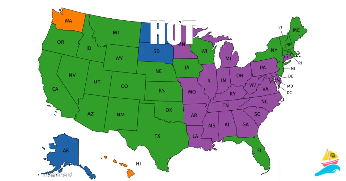
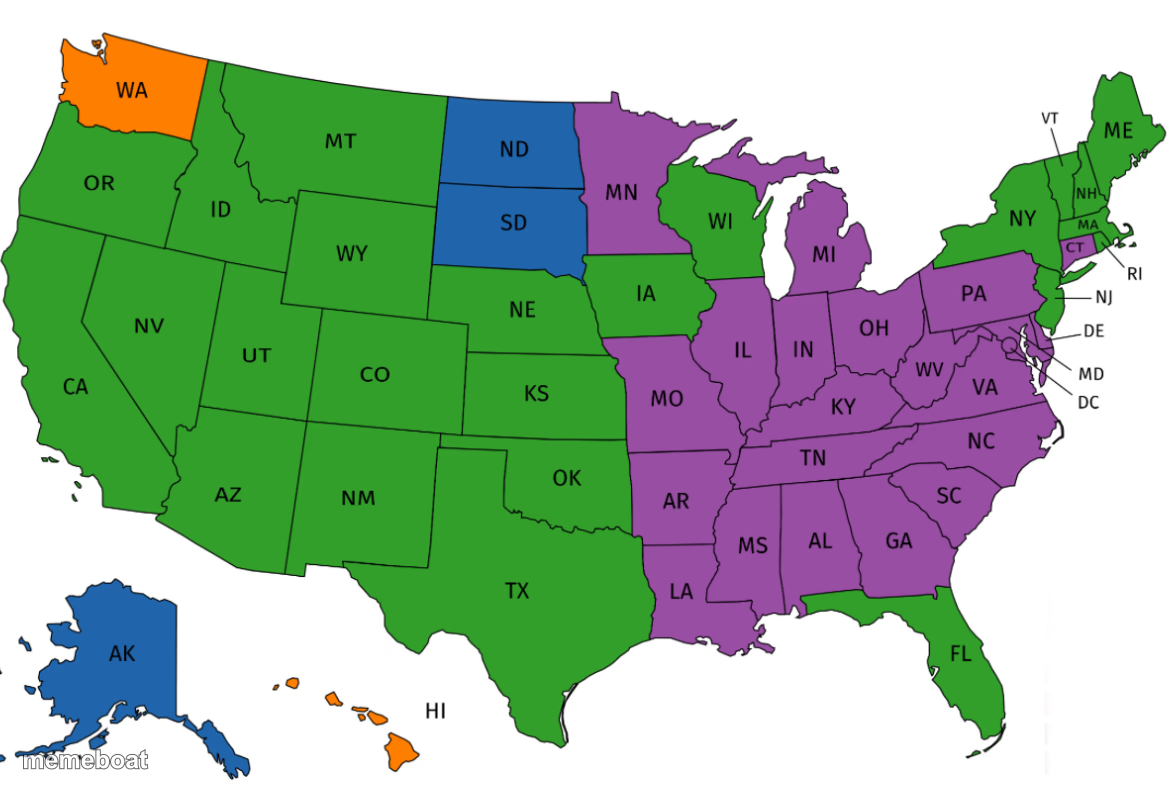
IT CAN BE 25 DEGREES ONE DAY AND SNOWING · AND 73 DEGRESS AND SUNNY THE NEXT DAY.. WHAT STATE AM I IN?
Scroll up to the Weather template, add your own text boxes in the editor above and type your captions, adjust the font, size and color if you like, then click download. Your finished Weather meme is ready to share in seconds.
Yes. The Weather template is completely free to use — no signup, no watermark and no limits on how many memes you create or where you share them.
Click the download button under the editor once your Weather meme looks right. It saves straight to your device as a high-quality PNG or JPEG image.